Dieser Bereich kann Inhalte enthalten, die nicht für alle Nutzer geeignet sind. Dazu können unter anderem Texte, Medien oder Diskussionen gehören, die als beleidigend, extremistisch, gewaltbezogen oder anderweitig belastend empfunden werden. Wenn du solche Inhalte nicht sehen möchtest, nutze bitte die jeweiligen Filter- und Meldeoptionen der Plattform oder meide entsprechende Threads/Communities.
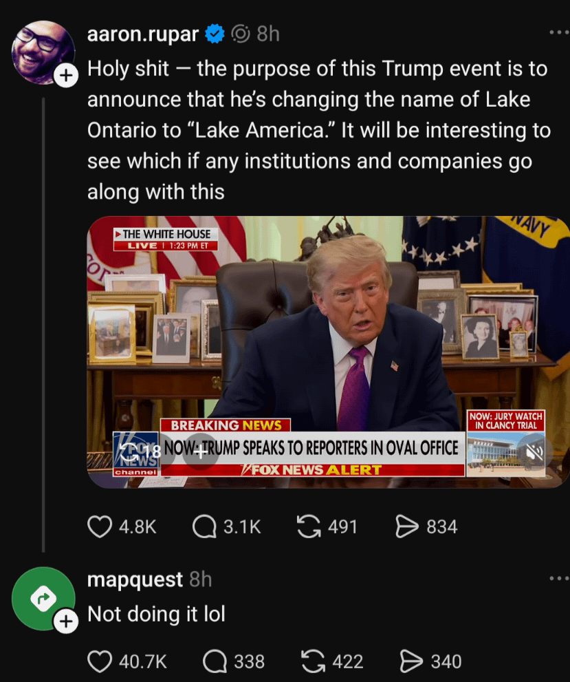
I’m not sure about that “currently not the case”.
I mean you can download the data from OSM, open it in QGIS, and make a custom map of your city. You could use whatever locale you wanted for names.
My point is, any assertion that it’s not used by a renderer is false, because someone will inevitably use it